Check This Action Out
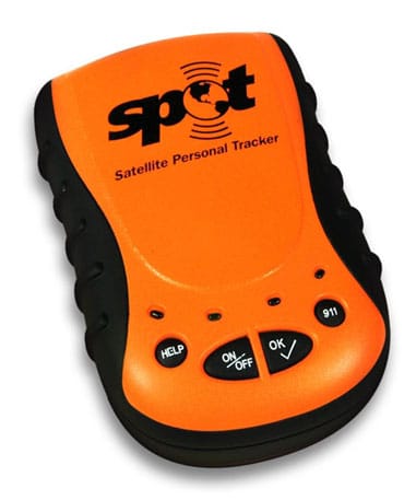
I added a PostGIS-enabled Postgres database with location and tracklog tables, seeded with McKinley's camps, the summit, and home. As Spot beacons arrive, PostGIS finds our nearest point of interest, so you can tell which camp we're at. Next: a Loopt-esque iPhone app.